
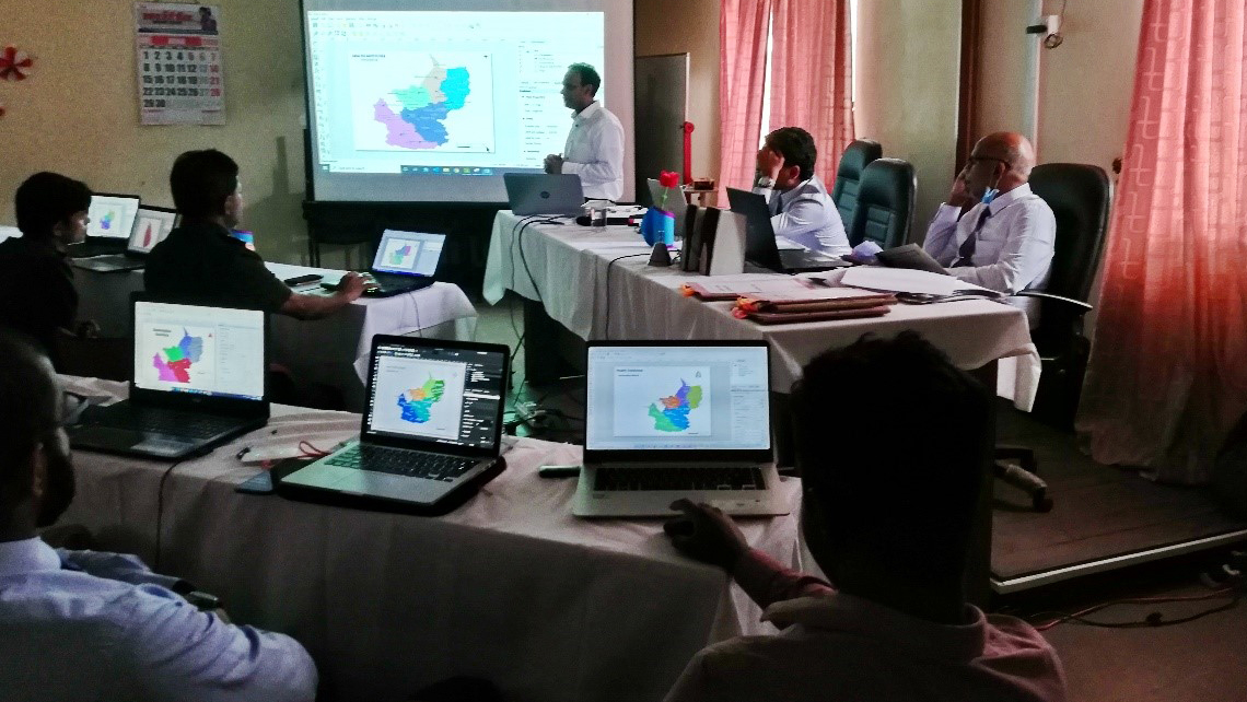
Health System Enhancement Project (HSEP) commenced the first phase of GIS training program on 29th May 2020 started from Matale RDHS office, under the guidance of the Project Management Unit to establish 13 GIS cells at four PDHSs offices and nine RDHSs offices of Central, North Central, Sabaragamuwa and Uva Provinces.
These two-day training programs were conducted by the Geographical Information System (GIS) Consultant of the project, covering basic theoretical and practical aspects of using free-and-open source geospatial tools. The initial program is supposed to be followed by second phase which is training for field data collection and third phase for the advanced analytics of database using geospatial technologies. Among the trainers there were key executive officers of GIS development process such as Provincial Directors, Regional Director of Health Services, MO (Planning), Deputy Directors, Medical Officers of Health, IT officers, Public Health Officers and Public Health midwives.
In addition, several Medical Officers and Allied Health Professionals from different divisions such as NCD /Dengue prevention units and COVID19 units participated in the program, because knowledge in GIS is important for a quality service.
The expected outcome of the program was to function GIS cells at different levels by the health professionals who were appointed. These GIS units will work to develop digital databases of health institutes, patients and other related entities. A household survey is planned to be carried out in all nine clusters, which will collect related information of houses as well as their occupants. As a secondary objective, this database is supposed to be utilized as disease surveillance, source of diseases and pattern recognition, registry management and decision supporting tool.